

1·
19 days agoIronFox
There is no result for “IronFox” on f-droid.org: https://search.f-droid.org/?q=IronFox
IronFox
There is no result for “IronFox” on f-droid.org: https://search.f-droid.org/?q=IronFox
Sometimes a bit too random. The start positions heavily influence the winning probability

When it comes to open source software, in my opinion its a good thing when all individous people from all of the world can use and participate. Sometimes free software is the only chance for people to sustain against repressive governments.
As the app is free and open source the community can easily review the software functionality and detect malicious behaviour. Also the app is free, so no money need to go from you to anybody.
Nevertheless I think its good that you are doubtful and share your doubts in public. Thanks for your opinion.
Since this is not updated or maintained anymore, there is a spin off with very active development: https://github.com/00-Evan/shattered-pixel-dungeon
on F-Droid: https://f-droid.org/packages/com.unciv.app/
on F-Droid: https://f-droid.org/packages/io.anuke.mindustry/
cant find it on F-Droid: https://search.f-droid.org/?q=ignis
Playable for sure, but in bigger battles its complicated to keep an overview over big maps
confirm, Image Toolbax was very helpful for me several times
Some federation gone wrong here?
Seems like this is a post on Mastodon:
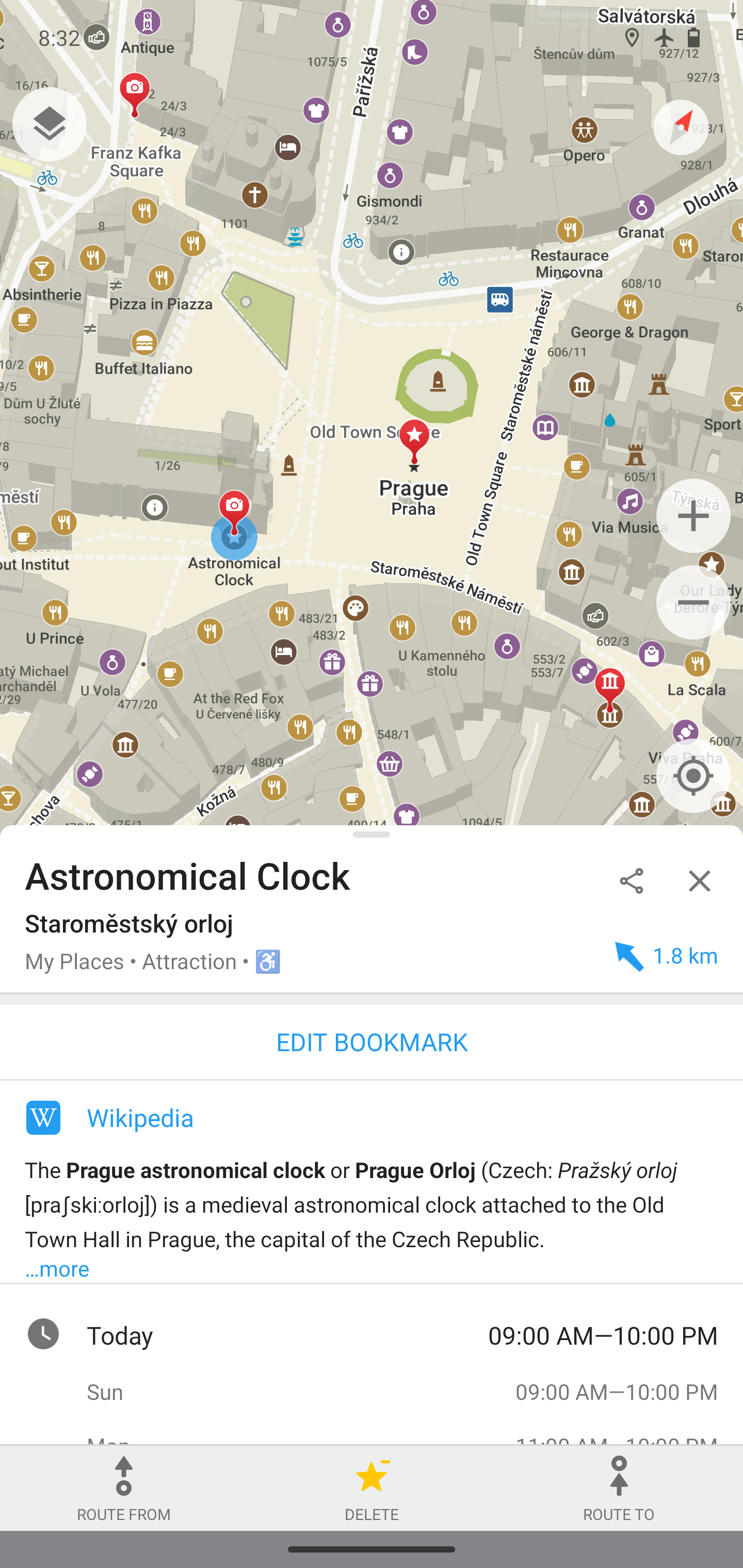
Same problem that Osmand is dependend on their backend for map data download
Great and very useful to me are the Hotkeys:
Hotkeys
< > for user changesets
N — on/off notes layer
D — on/off Map Data layer
G — on/off GPS tracks layer
S — on/off satellite layer (Firefox only)
H — open object history
1 — open first version of object
Z — zoom to changeset/object bbox
E — Open editor
8/9 — prev/next map position
O— open OSMCha
shift + O — open Achavi
Experimental hotkeys:
K L — navigation between changeset elements
shift + L — pan to current location
shift + H — open My changesets
Y — open Yandex.Panoramas
shift + E — open second editor
Wow that’s ridiculous
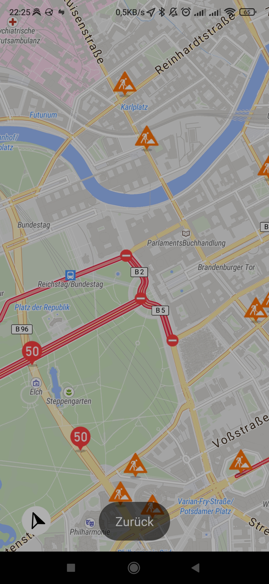
The map tiles are greyed out and have less contrast then before. Unfortunately there is also no switch setting for normal mode.
Now I use the Mozilla Dark Reader Addon to increase contrast again. Makes the experience of osm.org in dark mode much better.
It’s a good idea to create a more decentralized solution to share your parkour spots.
Unfortunately osm.org does not support custom POI lists.
The german OSM community is hosting a Umap service, where you could create a custom POI map. (https://umap.openstreetmap.de/en/)
The map can then be shared and the POIs can be downloaded as gpx, kml or similar file. This file can then be imported into any Map Apps.
For the photos… If you get the permission to put these under a Creative Commons License, then you can upload them to Wikimedia. Then put the link into the description of the POIs in the Umap
Unfortunately most of the species tagged trees are mass imported and not mapped by a real mapper.
I try often to map species or genus but there is no good mobile app for this task yet.


I asked ChatGPT and there seems to be two options to view OSM extracts:
QGIS can open .osm and .pbf
JOSM can open .osm
I did not verify or test this by myself. Maybe some people have more experience?